ALUM CREEK STATE PARK
Alum Creek's large reservoir and gently rolling span of fields and woodlands provides a hub of recreational activity just minutes from Ohio's capital city. Quiet coves nestled among shale cliffs await the solitary fisherman in the park's northern reaches while sunseekers mingle with thousands on Ohio's largest inland beach.
Alum Creek rests in the midst of the fertile agricultural till plains and river valleys of Delaware County. In contrast to the surrounding farmlands, the park offers a diverse array of natural features. Cliffs of Ohio shale are notable in many areas, exposed as Alum Creek and other streams cut through underlying bedrock. The shale was formed as mud washed into the ancient sea which covered the area several hundred million years ago. The dark hue of the rock is due to the mixture of a carbonized plant material and mud that formed the shale.
The rich soils of Delaware County gave rise to a luxuriant beech-maple forest after the retreat of the glaciers about 12,000 years ago. That original forest has long since been cut but a healthy second growth forest is preserved in the park. The woodlands harbor a variety of plant species and offer the interested observer beautiful displays of wildflowers and wildlife. Large-flowered trillium, wild geranium, bloodroot, and spring beauties carpet the forest floor. The forest is home to the fox squirrel, woodchuck, rabbit, white-tail deer and many other species of wildlife.
Long before recorded history, man called this forest and the Alum Creek valley home. The Adena culture lived here over 2,000 years ago. Seven mounds constructed by the mound builders were identified along the creek. Six were excavated before the valley was flooded although archaeologists did not believe them to be burial mounds.
Much later, the Delaware Indian tribe occupied several villages near Alum Creek. A large town was located where the city of Delaware now stands on the banks of the Olentangy River. The Indians cultivated a 400-acre cornfield in much of what is presently downtown. These Algonquin tribespeople entered Ohio in the 1700s, being displaced from their eastern home in the Delaware River valley by the fierce Iroquois nation.
Colonel Moses Byxbe was one of the first settlers in the county. He built his home in 1805 on Alum Creek and named the township Berkshire after his native Berkshire, Massachusetts. He owned 8,000 acres on the creek and was the co-owner of 30,000 more. These were military lands which he sold for $2.50 to $10 per acre.
With the threat of the War of 1812, the frontier counties set about erecting structures to defend themselves in case of Indian attack. Four blockhouses were built in the county, one of which was on Alum Creek. The fortress had two stories, the second of which protruded over the first yielding a place from which to shoot, drop boiling water on the attackers and defy attempts to set the log structure on fire. This Fort Cheshire, which stood until the Civil War, was later used as a schoolhouse. A bronze plaque commemorates the site where the fort once stood in what is now the park's family campground.
During the fifty years prior to the Civil War, the border state of Ohio offered many routes for the Underground Railroad by which slaves escaped to freedom. Over 40,000 slaves passed northward through Ohio along these paths. The Sycamore Trail, whose guideposts were often the ghostly white bark of this floodplain tree, ran along Alum Creek. Slaves waded in the waters of the creek as they left the safe Hanby House in Westerville and attempted to elude pursuing trackers. Africa Road received its name from the fact that thirty slaves, freed in North Carolina, settled near friendly homeowners in this area.
Alum Creek Dam is part of the flood control plan for the Ohio River Basin. The lake was authorized by Congress in the Flood Control Act of 1962. Construction began in August of 1970 and was completed in 1974.
Ohio does not have an annual pass and does not charge entrance fees to state parks.
GeneralLand, acres4,630
Water, acres3,387
Day-UseFishingyes
Huntingyes
Hiking Trail, miles10
Picnickingyes
Swimming Beach, feet3,000
Mountain Bike Trails, miles14
Bridle Trails, miles38
BoatingBoat Rentalyes
Boating LimitsUnlimited HP
Seasonal Dock Rentalyes
Launch Ramps, #4
Fuel For Saleyes
CampingElectric Sites, #286
Full Hookup Sites, #3
Pets Permittedyes
Flush Toiletsyes
Dumpstationyes
Showersyes
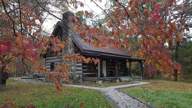
Camper Cabins, #5
Group Camp, capacity100
Campground Beachyes
Rent-A-RV Sites, #3
Horsemen Campsites, #30
WinterSleddingyes
Cross-Country Skiingyes
Snowmobilingyes
Ice Boatingyes
Ice Skatingyes
Ice Fishingyes
Alum Creek's 297 family campsites offer both wooded and sunny areas, some of which overlook the lake. This well-designed campground has a beach and a boat ramp for exclusive use of the overnight guests. Each site has an electrical hookup, and heated shower facilities are located throughout the facility.
The largest inland beach in Ohio's state park system is located at Alum Creek. This 3,000-foot beach offers a changing area and concession stand. The beach is open during daylight hours only.
Alum Creek Reservoir contains 3,387 acres of water. The broad expanse of the lake south of Cheshire Road is a boater's paradise with unlimited horsepower and plenty of room for skiers. The northern portion offers a quieter scene with tree-lined shores, shale cliffs and sheltered inlets for canoeists.
The narrow coves and quiet inlets offer fine catches of bass, bluegill, crappie, walleye and saugeye. The northern half of the park is best for the squirrel and deer hunter, while the southern half offers better opportunities for rabbit and other upland game. Valid Ohio hunting and fishing license are required. Note the hunting map as many areas are restricted.


