BUCK HALL RECREATION AREA
Brushy Creek Campground is situated along the banks of Lake O' the Pines in the Ark-La-Tex portion of the Pineywoods of east Texas near the states of Arkansas, Oklahoma, and Louisiana.
The nearby towns of Jefferson and Marshall offer plenty of historic and tourist attractions, and Texas Wildflower Trail routes are located along the roads surrounding the lake.
Boating, fishing, water sports, and wildlife viewing are all popular pastimes at the campground. Hunting opportunities for white-tailed deer, waterfowl, and small game are available on nearby public lands.
Lake O' the Pines fishing includes largemouth, spotted, and white bass along with crappie, catfish, and sunfish. In addition to boat fishing there are areas for bank fishing along the shore and below the dam along Big Cypress Bayou.
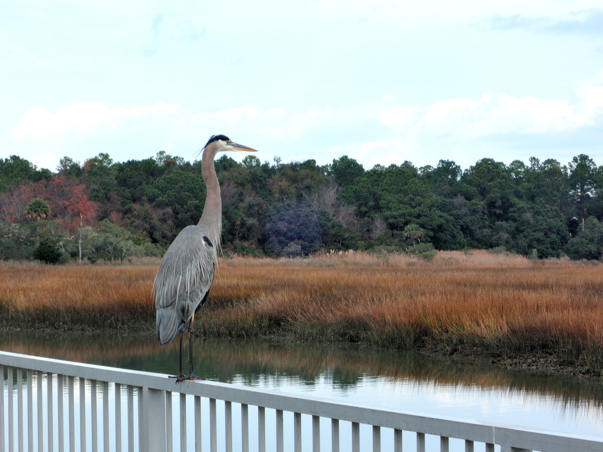
Birdwatchers are also encouraged to bring their binoculars as numerous resident and migratory bird species inhabit the area. Bald eagle sightings are a common occurrence in fall and winter and they are occasionally sighted in spring and summer.Brushy Creek features 62 RV campsites with water and electric hookups. There are also 37 tent campsites, 12 of these sites have electricity available.
Restrooms with showers are located in each section of the park.
Trash receptacles are located throuhout the park.
A boat ramp, courtesy dock, playground, swimming beach, fishing dock, and sewer dump station are also provided.Lake O' the Pines includes about 18,700 acres of water and 9,000 acres of land, encompassing an area so large it spans five counties.
The lake was created by the construction of the Ferrell's Bridge Dam on the Big Cypress Bayou. The reservoir was originally created as part of the overall plan for flood control in the Red River Basin below Denison Dam in Oklahoma, and has now become a recreational oasis for outdoor enthusiasts.
 Brick House Campground
Brick House Campground is located on SC Route 66, 3.5 miles east of I-26, situated in the heart of the Enoree Ranger District in Newberry County. The campground is surrounded by a mixed pine-hardwood forest with an elevation of approximately 550 feet. Long hot summers and mild winters are the norm for the Enoree Ranger District. Winter temperatures range
....moreCherry Hill Recreation Area Open April 1 - October 31. Cherry Hill is near the Chattooga Wild and Scenic River and many miles of hiking trails. Site amenities include centrally-located drinking water, cooking grills, tables and lantern posts as well as a restroom with flush toilets and hot showers. When you make a reservation, post one of the following on the clip provided at your
....more Rocky Branch Seasonal Camp Rocky Branch Seasonal Campground is located on the Enoree Ranger District of Sumter National Forest. It's location in the southeastern corner of the district in Fairfield County. The Broad River flows near the area, a couple miles west of Rocky Branch. It offers seasonal camping opportunities to hunt whitetail deer and wild turkey during big game deer and
....more Sedalia Campground Sedalia Campground is located on the Enoree Ranger District of Sumter National Forest. It's location in the piedmont of South Carolina, Union County and provides year round camping opportunities. The campground is surrounded by a mixed pine-hardwood forest with an elevation of approximately 570 feet. Long hot summers and mild winters are the norm for the
....more Whetstone Horse Campground Whetstone Horse Camp is located in the Andrew Pickens Ranger District in Oconee County in the western corner of South Carolina, about 13 miles northwest of Walhalla. The Chattooga River flows nearby. With over 30 miles of horseback riding trails, Whetstone serves as a base for those who like to ride and camp.The camp is situated in the foothills of the Blue
....more Woods Ferry Campground The rolling hills of Enoree Ranger District in Chester County are home to the Woods Ferry Recreation Area which includes the Woods Ferry Campground, Woods Ferry Picnic Area, Woods Ferry Boat Ramp. The Woods Ferry Recreation Area is situated in the piedmont of South Carolina along the east bank of the Broad River with elevation averaging around 350 feet and
....more


 Share Your Buck Hall Recreation Area Photos (click here)
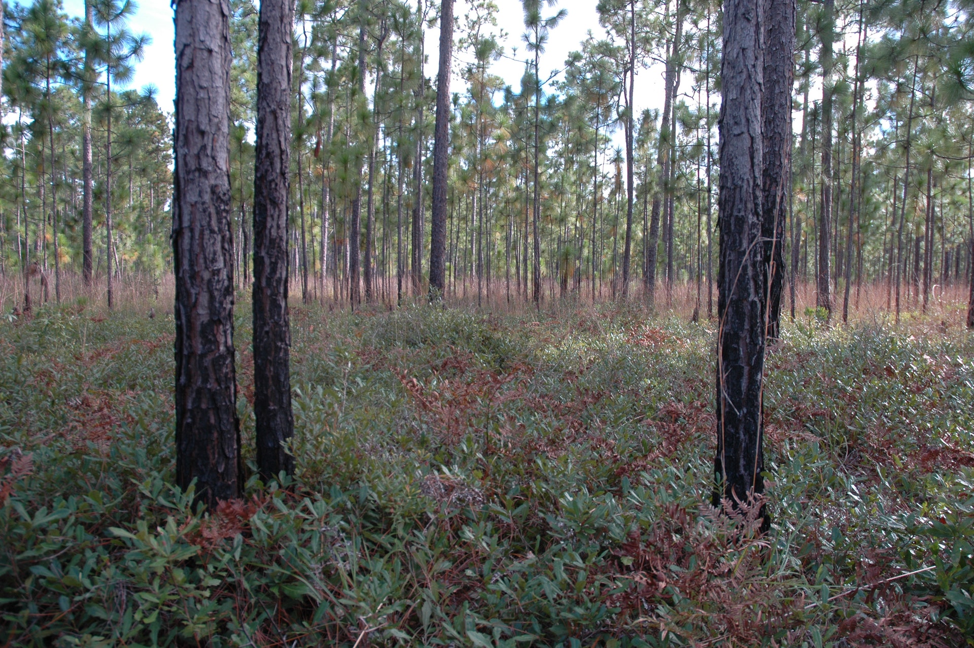