TALLADEGA NATIONAL FOREST
The National Forest commission created the Oakmulgee Purchase Unit, located south of Centreville, January 21, 1935. The area was first settled in the early 1800's. At that time, stands of timber were cleared for agricultural purposes and to build homes. What is now known as the Oakmulgee Ranger District was about 60 percent cut-over land.
On July 17, 1936, President Roosevelt, by proclamation, created the Talladega National Forest out of the Talladega and Oakmulgee Purchase Units. The Talladega National Forest, at one time, consisted of four ranger districts: Oakmulgee or the Cahaba Working Circle, Tuscaloosa or the Pondville Working Circle, Shoal Creek and Talladega.
The Talladega Unit was divided into two districts October 1, 1945, with the northern district, Shoal Creek Ranger District, headquartered in Heflin and the Talladega Ranger District . Thirty percent of the Shoal Creek/Talladega land was cut-over, cultivated and vacated farmland.


 Share Your Talladega National Forest Photos (click here)
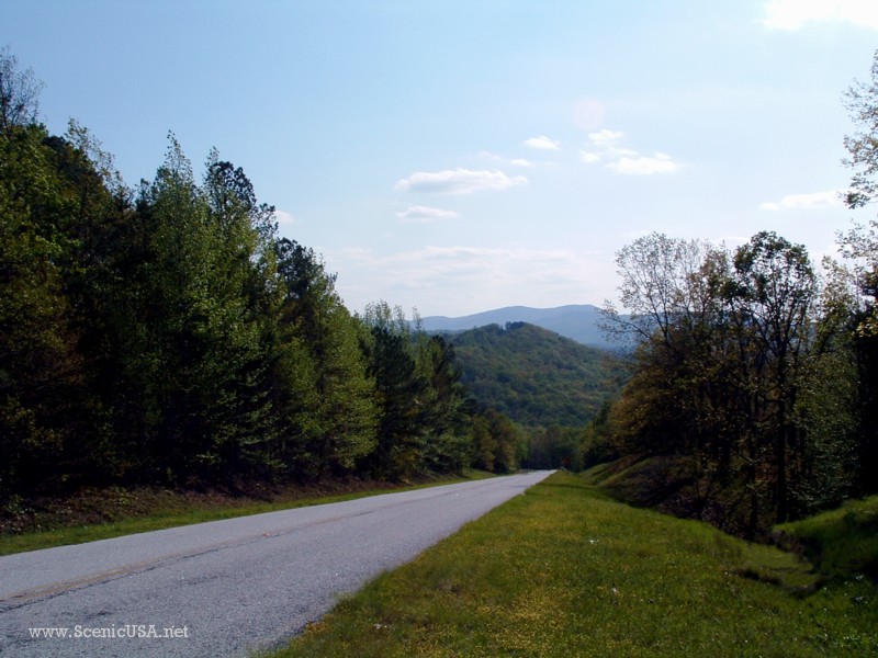