GERLE CREEK CAMPGROUND
GERLE CREEK CAMPGROUNDPollock Pines, California 95726
(lat:38.974 lon:-120.3921)

Phone:
530-647-5415
Gerle Creek Campground is nestled on the banks of the Gerle Creek Fork among a lush forest of hardwoods. The area provides lots of opportunity for fishing and water play. Hiking and biking are also popular.The campground offers single and double-family campsites, many of which are accessible. Each site is equipped with a picnic table and campfire ring. Vault toilets are provided and firewood is available for purchase.Gerle Creek Campground sits at an elevation of 5,300 feet, upstream of Gerle Creek Divide Reservoir. It is on the Georgetown Divide within the Eldorado National Forest. Gerle Creek was named for two brothers who were early settlers and farmers in the region.
Eldorado National Forest boasts over 400 miles of hiking trails, an abundance of lakes and rivers for fishing and swimming, and incredible scenery. The climate is similar to that of the Mediterranean, with warm, dry summers and cold, wet winters.Union Valley Reservoir and Loon Lake are within a short drive of the campground, offering additional fishing and boating opportunities.Swimming, canoeing, kayaking and fishing are some of the fun things to do on the creek. Common fish species include brown and rainbow trout. An accessible fishing dock is located on-site.
The Gerle Creek Interpretive Trail is fully accessible and provides scenic views and interesting displays.
 Ice House Campground
Ice House Campground is surrounded by a mixed conifer forest on the shores of Ice House Reservoir. Just 12 miles from Riverton, CA, the campground offers hiking, biking, jet skiing and fishing.
Ponderosa pine is a pleasing part of the surrounding region. The trees fill the air with a vanilla aroma and it's the tallest known pine tree in the country. To
....more


 Share Your Gerle Creek Campground Photos (click here)
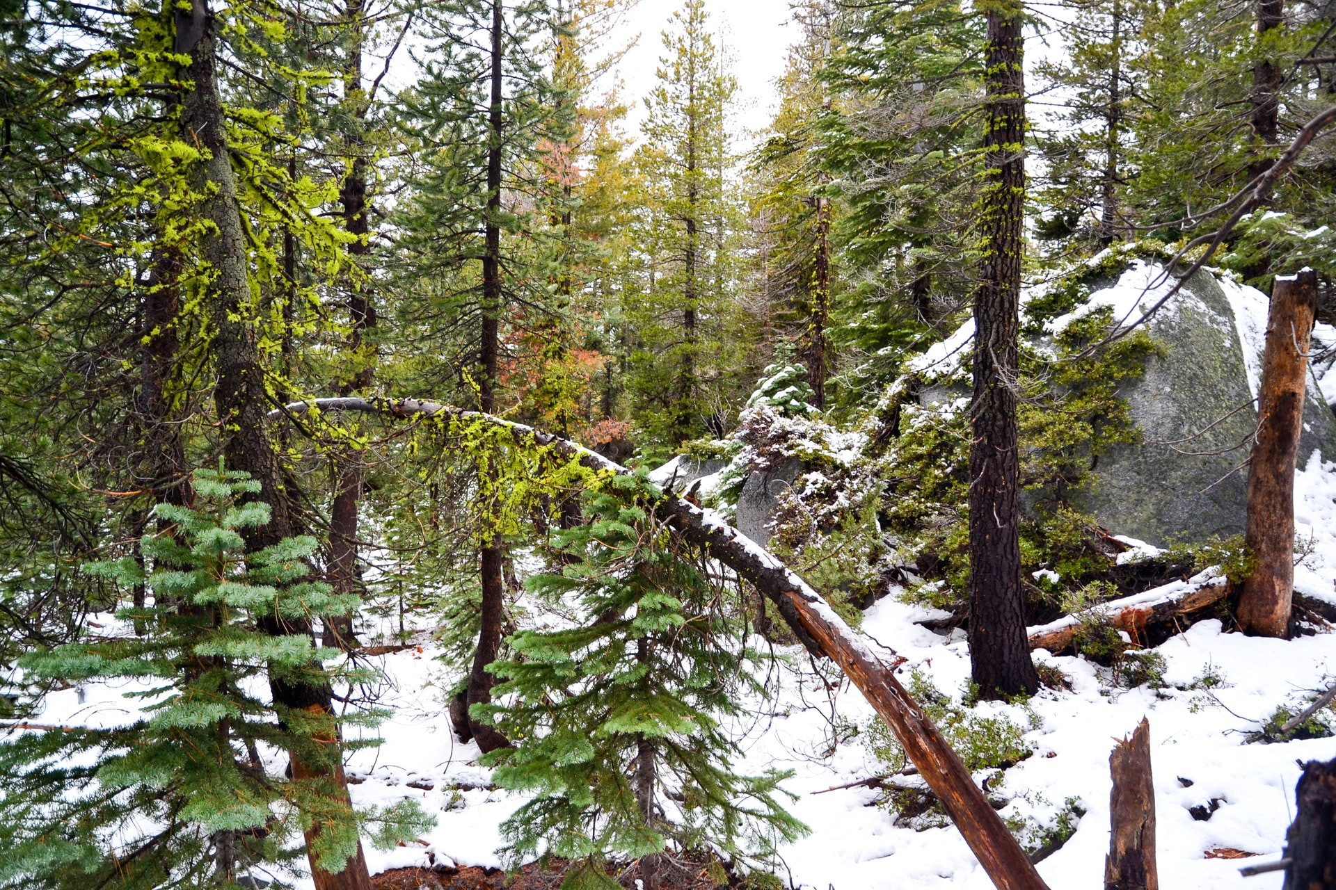